Arusha
The safari capital, and a city that has spent a century being where things are decided — a colonial garrison that became the seat of the East African Community and the place Tanzania declared what kind of country it intended to be.
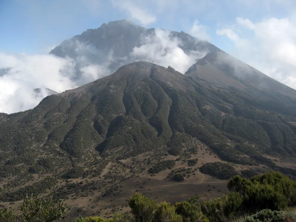
Mount Meru's breached caldera. The eastern wall collapsed in a vast landslide, leaving the crescent open to the north-east.
- Region
- Arusha Region, northern Tanzania
- Population
- 617,631 (2022 census)
- Elevation
- About 1,400 m
- Known for
- Northern safari circuit, tanzanite, coffee
- Airport
- Kilimanjaro International (JRO), 46 km east
A garrison that became a meeting place
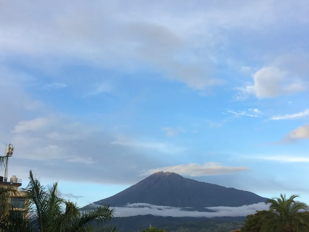
Arusha is young by the standards of the coast. There was no Swahili port here, no sultan, no stone town — the country belonged to the Arusha and Meru farmers on Mount Meru's fertile southern slopes and to Maasai herders on the plains below, and the two traded rather than merged. The German colonial army arrived in 1896, and by 1900 had built a fort — a boma — and garrisoned it. That is the founding date of the town in any modern sense: a military post placed to control a junction.
The British took over in 1916, during the First World War, and the town's fortunes turned on infrastructure. When the railway was extended from Moshi to Arusha in 1928–29, the settlement stopped being an administrative outpost and became a commercial one, gathering the coffee and the produce of the mountain and sending it east to the coast. Even so it stayed small: the 1952 census counted fewer than eight thousand people in total.
Its significance is more political than commercial. In February 1967, at a meeting here, Julius Nyerere set out the Arusha Declaration — the statement of ujamaa, African socialism and self-reliance that defined Tanzania's first decades: nationalisation, villagisation, and an explicit rejection of the idea that development could be bought from abroad. Whatever one concludes about its economic results, it gave the country a political character distinct from its neighbours, and it was declared in this city.
That reputation as neutral ground stuck. The Arusha Accords for Rwanda were signed here on 4 August 1993. The Arusha peace agreement for Burundi followed on 28 August 2000. The International Criminal Tribunal for Rwanda sat here from 1994 to 2015. Today the city hosts the headquarters of the East African Community and the African Court on Human and Peoples' Rights. Arusha received formal city status in 2012.
There is a geographical joke that the town likes: it sits roughly midway between Cairo and Cape Town. It is not quite true, but it captures something about how the place sees itself.
Tanzanite, coffee, and the business of safari
What the region produces
- Tanzanite
- Mined only at Mererani, at Kilimanjaro's foot
- Coffee
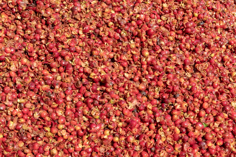
- Arabica from the slopes of Meru
- Horticulture
- Cut flowers and seed for export
- Tourism
- The base for the entire northern circuit
- Institutions
- EAC, African Court, conference trade
Arusha's most famous product exists nowhere else on earth. Tanzanite — a blue-violet variety of the mineral zoisite — is found in a single small area at Mererani, in the hills at Kilimanjaro's western foot, and geologists' estimates of the remaining deposit are measured in decades rather than centuries. It was identified in 1967 and named by Tiffany & Co., who reasoned that 'blue zoisite' would not sell. The trade is visible all over the city, and the gap between what a miner at Mererani earns and what the stone fetches in a foreign showroom is one of the country's clearest illustrations of where value gets added.
The older wealth is agricultural. Meru's southern slopes catch reliable rain and hold volcanic soil, and coffee, maize, beans and bananas have been grown there for generations. Around the city, large horticultural estates grow cut flowers and vegetable seed for export — an industry that is invisible to visitors but employs a great many people and runs on the same flights that bring the tourists.
And then there is safari. Arusha is the operational base of the northern circuit: nearly every vehicle that reaches the Serengeti was outfitted, fuelled and crewed here, and the guides, mechanics, camp suppliers and logistics firms that make the industry work are Arusha businesses. The tourist sees the city for one night at each end of a trip; the industry lives here permanently.
The institutional economy is real too. A permanent EAC headquarters, an international court and a conference circuit sustain hotels, translators, drivers and restaurants year-round, and they do it counter-seasonally to tourism — which is worth more to the city than the raw numbers suggest.
Three peoples on one mountain
The city takes its name from the Arusha people, agriculturalists of the mountain's southern slopes who speak a Maa dialect and are historically close to the Maasai — a relationship of shared language and long exchange rather than of identity. Above and around them are the Meru, Bantu-speaking farmers of the higher slopes, with their own history and their own chiefdoms. On the plains, the Maasai, whose presence is what most visitors notice first and understand least.
That last point is worth dwelling on. Maasai culture is the most photographed thing in northern Tanzania and the most frequently misrepresented. What is sold as a 'cultural visit' is often theatre arranged for tour vehicles, priced per camera. Communities that run their own cultural tourism programmes on their own terms exist and are worth seeking out; the difference is who set the price and who keeps it.
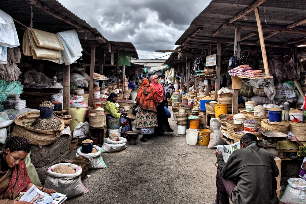
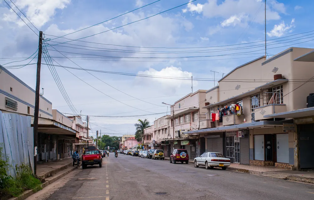
The everyday culture of Arusha itself is urban, mixed and commercial. Kiswahili is the working language, English is common in the tourism and institutional trades, and the market is the honest centre of the city — produce down from the mountain, cloth, hardware, and the constant negotiation that is the actual sound of the place.
Because it is a crossroads, Arusha eats well and eats broadly: Indian food from a long-established South Asian community, Ethiopian restaurants, and the Tanzanian staples of nyama choma, ugali and chipsi mayai. It is not a beautiful city. It is an unusually alive one.
Towns, parks and places across Arusha Region
Town
Karatu
The farming town on the edge of the Crater Highlands, where most Ngorongoro safaris spend a night.
World Heritage
Ngorongoro Conservation Area
The crater and the highlands around it, managed by the Ngorongoro Conservation Area Authority rather than TANAPA.
Heritage site
Oldupai (Olduvai) Gorge
Inside the conservation area. Mary Leakey found the 'Zinjanthropus' skull here in 1959, and the gorge gave its name to the Oldowan stone-tool tradition. A museum stands on the rim.
Town
Mto wa Mbu
The 'river of mosquitoes' — a banana-growing market town below the rift escarpment beside Lake Manyara, on the road to Ngorongoro.
Lake & volcano
Lake Natron and Ol Doinyo Lengai
A caustic soda lake on the Kenyan border — the only regular breeding ground in East Africa for lesser flamingos — beneath the only volcano known to have erupted carbonatite lava in historical times. Remote; go with an experienced driver.
Lake
Lake Eyasi
A shallow lake that can dry almost completely, south-west of Karatu. Hadza and Datooga communities live around it; choose cultural visits carefully.
Town
Longido
A Maasai district town at the foot of Mount Longido, on the road north to the Kenyan border at Namanga.
National park
Serengeti National Park
Part of the park lies within the region; most of it is in Mara and Simiyu.
Informational — none of this is ticketed by us
National park
Arusha National Park
Momella lakes, Ngurdoto Crater and the summit route up Meru. Small, close, and often empty — and one of the few Tanzanian parks you may walk in with an armed ranger.
Museum
The Natural History Museum
Housed in the German boma of 1900. Modest, but the building itself is the town's founding document.
Market
The central market
Where the region's produce arrives. Go early; go without a plan.
Industry
Mererani and the tanzanite trade
The world's only source of the stone, an hour east. Buy certified, or don't buy.
Institution
The EAC headquarters
The seat of East African integration, and the reason Arusha's hotels stay full out of season.
Working farms
Meru's coffee slopes
Estates and smallholdings above the town, most of which will show you the whole process for the price of a lunch.
Before you go
- Getting there
- Kilimanjaro International (JRO) is 46 km east — about an hour. Arusha Airport, 8 km west, handles light aircraft to the Serengeti.
- Getting around
- Taxis and bajaji within town. Anything beyond it needs a vehicle; distances on the northern circuit are long.
- When to come
- June to October is dry and cool. The long rains fall March to May, when the region takes roughly 1,180 mm of rain a year, mostly then.
- Altitude
- 1,400 m. Warmer days than the coast, genuinely cold evenings — bring a jacket, which surprises people.
- Money
- Shillings. ATMs are plentiful in the centre; cards work in hotels and safari offices and rarely elsewhere.
- Time
- East Africa Time, UTC+3, no daylight saving.
Last reviewed 2026-09-04
Editorial — fact-check complete
Checked against
- Arusha Declaration (1967) — text and contextEncyclopaedia Britannica
- Arusha National ParkTanzania National Parks (TANAPA)
- About the East African Community — Headquarters, ArushaEast African Community
- 2022 Population and Housing Census resultsNational Bureau of Statistics, Tanzania
- Olduvai (Oldupai) Gorge — location and findsWikipedia
- Lake Natron — flamingo breeding, Ramsar siteWikipedia
- Ol Doinyo Lengai — carbonatite lavaWikipedia