Manyara
The region the northern circuit drives through: Tarangire's baobabs and Lake Manyara's forest, the terraced farms of the Iraqw, the Barabaig grazing lands under Mount Hanang, and the only place on earth where tanzanite is mined.
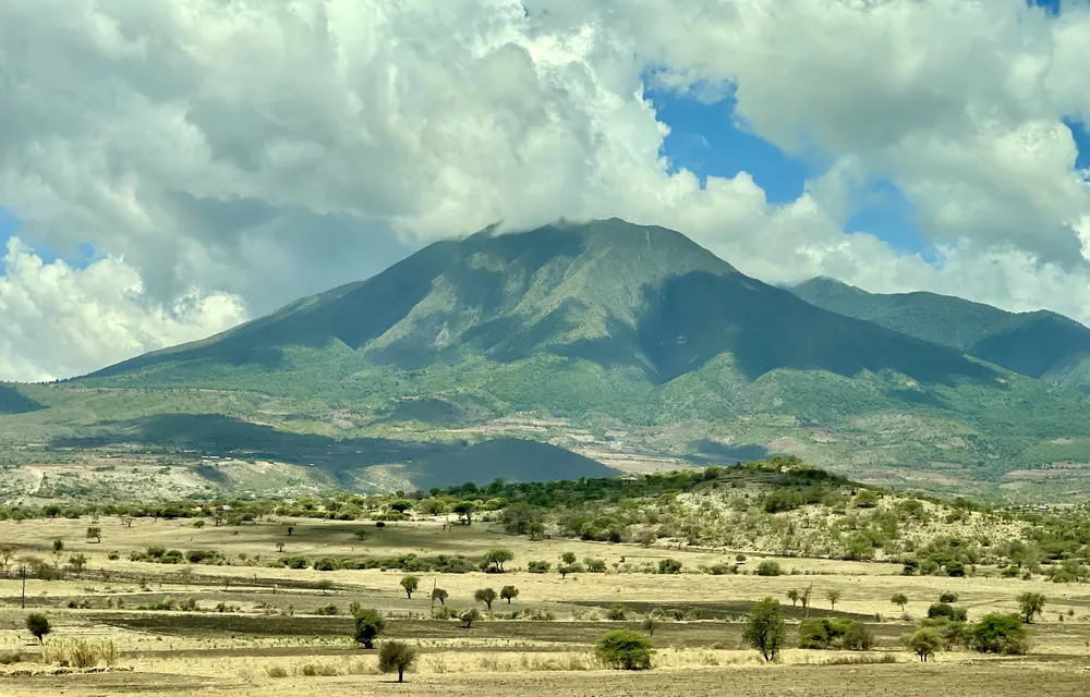
Mount Hanang above the farmland, seen from Mogitu. At about 3,420 m it is the fourth-highest mountain in Tanzania.
- Region
- Manyara Region, Northern zone
- Population
- 1,892,502 (2022 census)
- Area
- 44,522 km²
- Created
- 2002, from Arusha Region
- Highest point
- Mount Hanang, about 3,420 m
A region made in 2002
Manyara is a young administrative region — created in 2002 out of the southern districts of Arusha — but the country it covers is old and mixed. Its five districts run from Mbulu and Babati in the fertile highlands, through Hanang, to the dry Maasai rangelands of Simanjiro and Kiteto in the east and south.
The people are as varied as the land. The Iraqw are the largest group — Cushitic-speaking farmers of the Mbulu highlands, whose terraced hillsides and tight homesteads look unlike anything else in northern Tanzania. The Barabaig, a Datooga people, keep cattle on the plains around Mount Hanang. The Maasai graze the eastern steppe, and Mbugwe and Gorowa communities live between them.
Babati, beside its lake on the road south from Arusha, became the regional capital. It is a market town rather than a tourist one, and it is where the region's business is done.
Tanzanite, cattle and the safari road
What the region lives on
- Tanzanite
- Mined only at Mererani, Simanjiro
- Farming
- Maize, beans, wheat and onions
- Livestock
- Maasai and Barabaig herds
- Tourism
- Tarangire and Lake Manyara parks
- Trade
- The main road south from Arusha
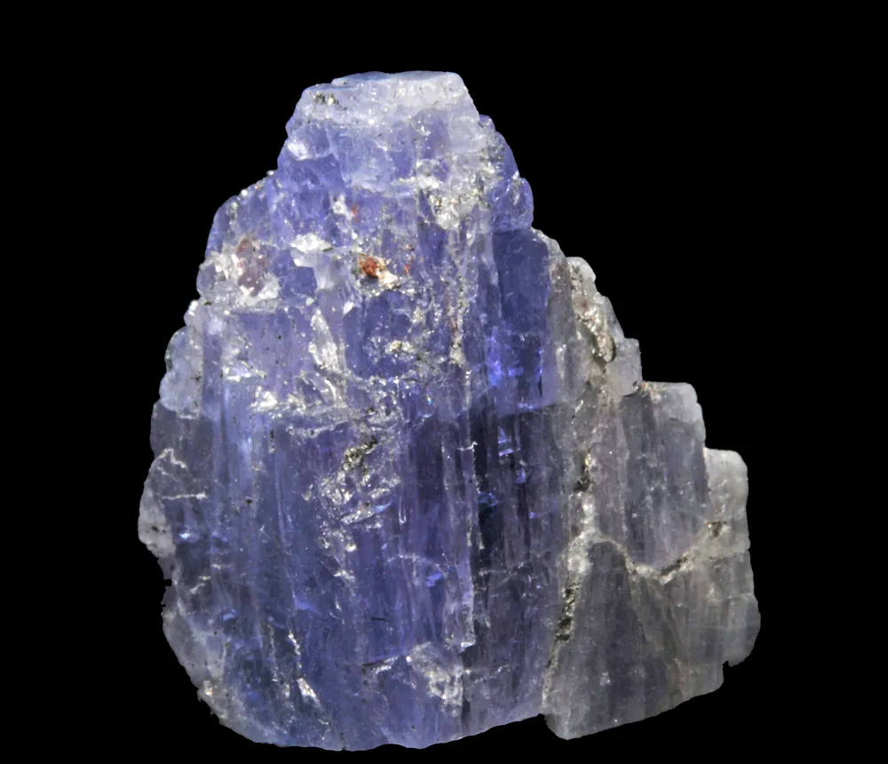
Tanzanite — the blue-violet gemstone found in commercial quantity nowhere else on earth — comes out of the Mererani hills in Simanjiro District, at the foot of Kilimanjaro's western approaches. The stone was identified in 1967; the mining area has since been walled and controlled by the government to curb smuggling, and the trade remains the most valuable and most argued-over business in the region.
Farming is what most people do. The highlands around Mbulu and Babati grow maize, beans, wheat, sunflower and onions; the drier east is grazing country, and Maasai and Barabaig herds move through it with the seasons.
And then there is the road. The highway south from Arusha to Dodoma runs the length of the region, and the two northern-circuit parks — Tarangire and Lake Manyara — are both here, which means a very large share of Tanzania's safari traffic passes through Manyara every year.
Highland farms, rift plains
The Iraqw highlands around Mbulu are the surprise of this region: cool, densely farmed country of ridges and terraces, with a language unrelated to those of the peoples around them. Iraqw houses were traditionally dug into hillsides with grass roofs at ground level, and the farming discipline of the area is visible from any ridge.
Around Katesh, under Mount Hanang, is Barabaig country — cattle people whose bomas and grazing patterns dominate the plains. Hanang itself, a dormant stratovolcano of about 3,420 metres, can be climbed from Katesh in a long day, and it is the fourth-highest mountain in the country after Kilimanjaro, Meru and Loolmalasin.
East, in Simanjiro and Kiteto, the country flattens into the Maasai steppe — thorn, dust and enormous horizons, with Tarangire's elephants moving in and out of it along the river as the seasons change.
Towns, parks and places across Manyara Region
National park
Tarangire National Park
Baobabs, big elephant herds and the river that gives the park its name. The northern circuit's second stop.
National park
Lake Manyara National Park
Groundwater forest, the rift wall and a shallow soda lake, shared with Arusha Region.
Mountain & town
Mount Hanang and Katesh
Tanzania's fourth-highest peak, climbed from the town of Katesh in Barabaig country.
Town & lake
Babati and Lake Babati
The regional capital on the Arusha–Dodoma road, beside a lake with hippos in it.
Highland district
Mbulu
Terraced Iraqw farmland, cool and green, west of Babati.
Mining town
Mererani
The tanzanite mines in Simanjiro District — the only commercial source of the stone anywhere.
Informational — none of this is ticketed by us
National park
Tarangire National Park
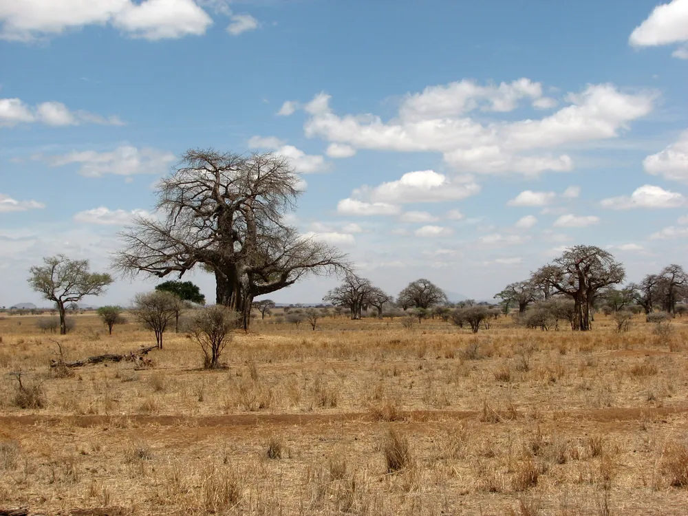
Elephants and baobabs, at their best in the dry season when game concentrates on the river.
National park
Lake Manyara National Park
Forest, flamingos and the rift escarpment — a half-day park that most itineraries pass through.
Mountain
Mount Hanang
A long day's climb from Katesh, through farmland and forest to open summit grassland. Take a local guide.
Lake
Lake Babati
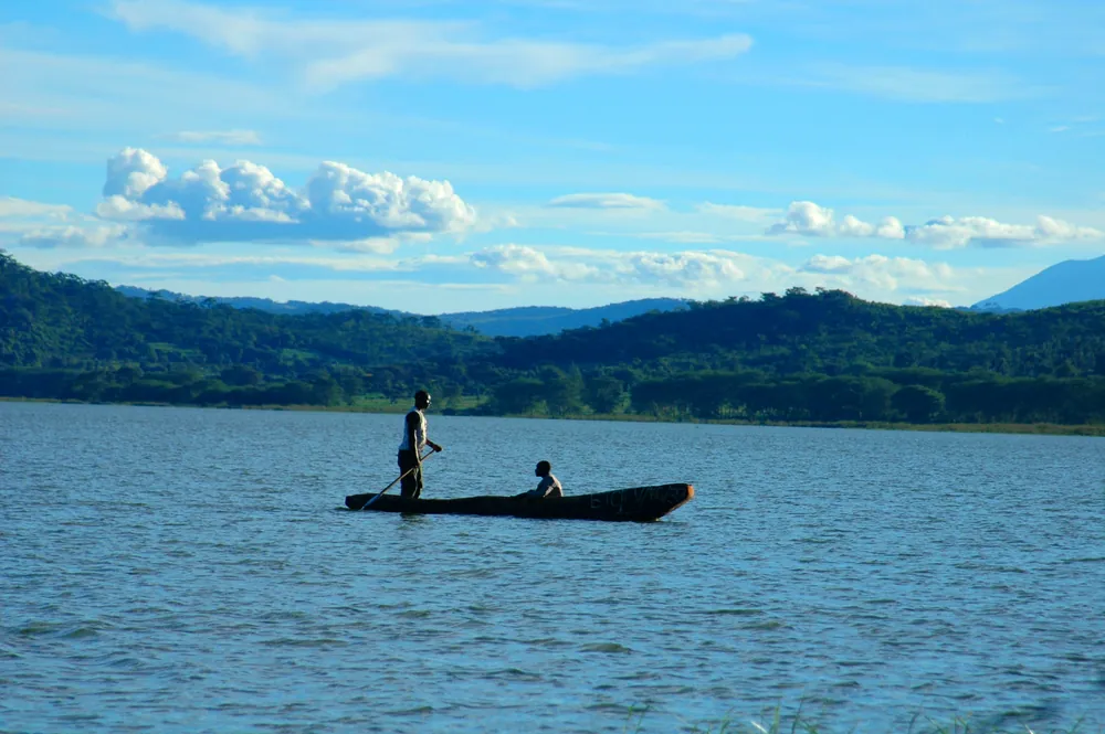
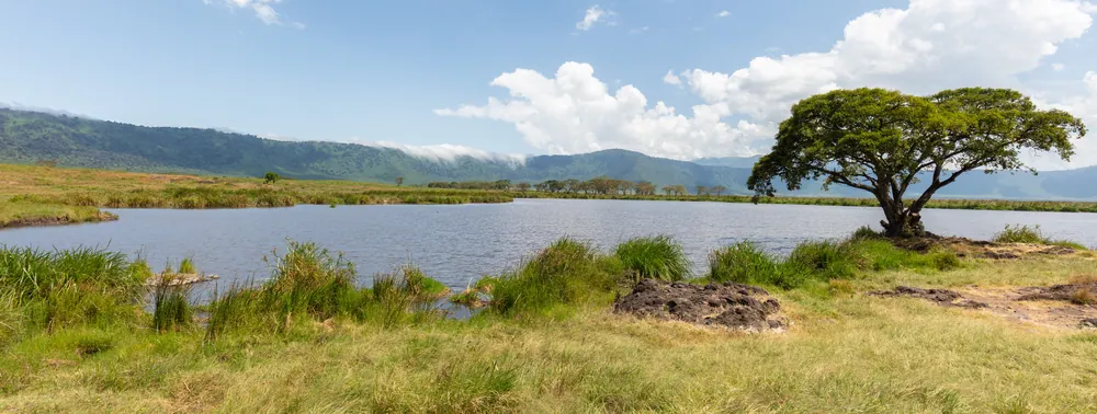
Hippos, fishermen's canoes and an easy morning out from the regional capital.
Industry
Mererani and the tanzanite trade
The world's only tanzanite mines. Buy certified stones, and treat the mining area itself as a workplace.
Farming landscape
The Iraqw highlands
Terraces, ridges and cool air around Mbulu — walking country with almost no other visitors.
Before you go
- Getting there
- By road from Arusha: Tarangire is about two hours, Babati about three. The highway continues south to Dodoma.
- Getting around
- A vehicle and driver. Park visits are almost always part of a northern-circuit itinerary.
- When to come
- June to October for the parks, when game concentrates near water. Hanang is best climbed in the dry months.
- Park rules
- TANAPA park fees apply at Tarangire and Lake Manyara, and driving inside the parks is restricted to daylight hours.
- Buying tanzanite
- Buy only from licensed dealers with certification, and keep the receipt for customs.
- Money
- Shillings. ATMs in Babati; carry cash in the highlands and on the steppe.
Last reviewed 2026-09-17
Editorial — fact-check complete
Checked against
- 2022 Population and Housing Census — administrative unitsNational Bureau of Statistics, Tanzania
- Manyara Region — creation, area, districts, peoples, economyWikipedia
- Mount Hanang — height, ranking, climbing from KateshWikipedia
- Tarangire and Lake Manyara national parksTanzania National Parks (TANAPA)