Kilimanjaro
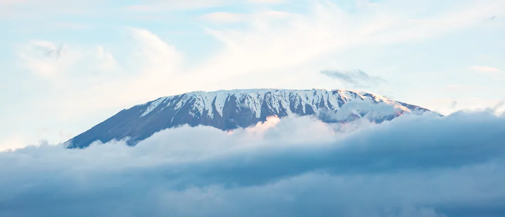
The region under the mountain: Chagga coffee farms on the southern slopes, the Pare ranges running south towards Mkomazi, a crater lake on the Kenyan border, and the highest point in Africa above all of it.
Kibo's glaciated summit above the cloud. Uhuru Peak, at 5,895 m, is the highest point in Africa.
- Region
- Kilimanjaro Region, Northern zone
- Population
- 1,861,934 (2022 census)
- Area
- 13,250 km²
- Capital
- Moshi
- Highest point
- Uhuru Peak, 5,895 m
Chiefdoms, a first ascent, and coffee
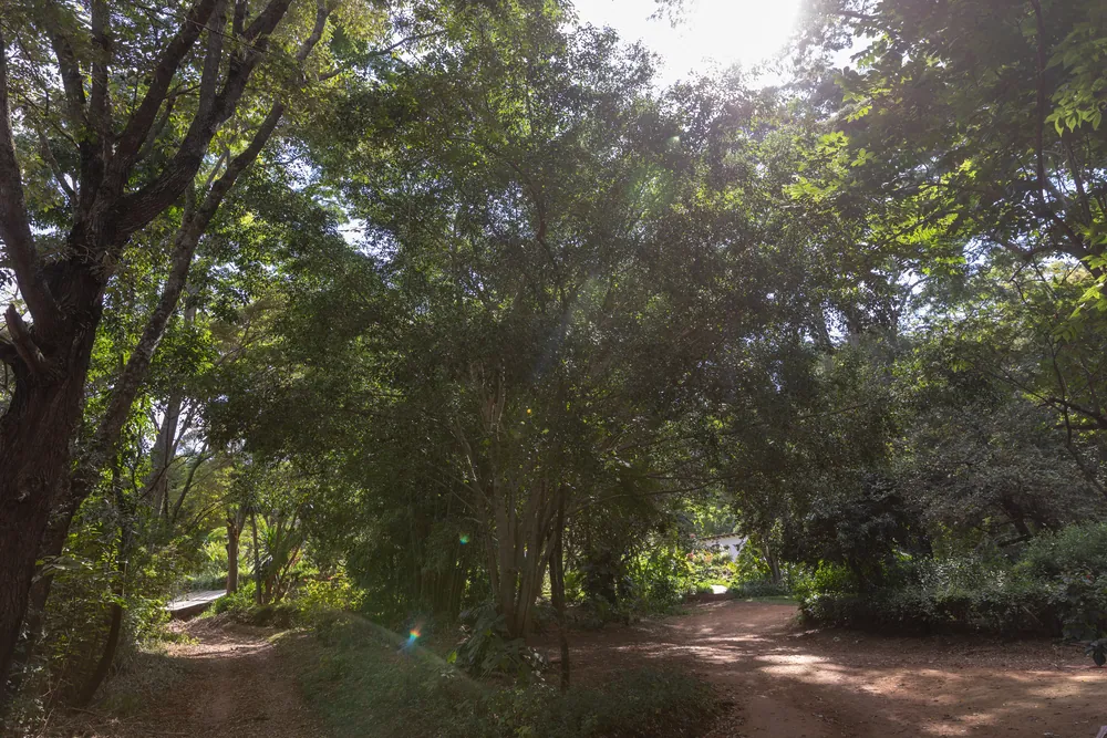
The southern slopes have been densely settled for centuries. The Chagga lived in a patchwork of small chiefdoms, each under its own mangi, farming irrigated banana and coffee gardens on the volcanic soil and trading with the caravans that passed below. German colonial rule broke the chiefdoms' independence in the 1890s; the mountain itself was claimed for the empire, and the boundary with British East Africa was drawn to put it on the German side.
The summit was first reached on 6 October 1889 by Hans Meyer and Ludwig Purtscheller, guided by Yohani Kinyala Lauwo, a local man who went on to guide on the mountain for decades. The route they took runs close to what is now the Marangu trail.
Coffee shaped everything that followed. Chagga growers organised early — the Kilimanjaro Native Planters' Association was formed in 1925, and the Kilimanjaro Native Co-operative Union, usually described as the oldest co-operative union in Africa, followed at the start of the 1930s. Coffee money paid for the schools that made this one of the best-educated regions in the country.
The mountain, the beans and the water
What the region lives on
- Tourism
- Kilimanjaro climbs and the northern circuit
- Coffee
- Chagga arabica, mostly smallholder
- Bananas & maize
- The staples of the slopes
- Sugar
- Irrigated estates on the plain
- Water & power
- The Pangani system and Nyumba ya Mungu
Kilimanjaro National Park is the region's single largest earner: tens of thousands of climbers a year, each paying park fees and employing a crew of guides, cooks and porters. That money reaches a very large number of households, and it is why Moshi is full of outfitters.
Agriculture is the older economy and still the wider one. Arabica coffee and bananas on the slopes, maize and beans below them, irrigated sugar on the plain, and horticulture wherever there is water.
Water is the constraint on all of it. Rivers off Kilimanjaro and Meru feed the Pangani system and the reservoir at Nyumba ya Mungu in Mwanga District — a dam opened in 1969 that generates power, irrigates farmland and supports a substantial fishery. Competition between irrigation, power and downstream users is a permanent argument in this basin.
Two mountains, two peoples
The Chagga of the Kilimanjaro slopes and the Pare of the Mwanga and Same highlands are both mountain farming peoples with long traditions of irrigation, terracing and trade, and both are known across Tanzania for schooling and enterprise. Maasai graze the drier plains between and below them.
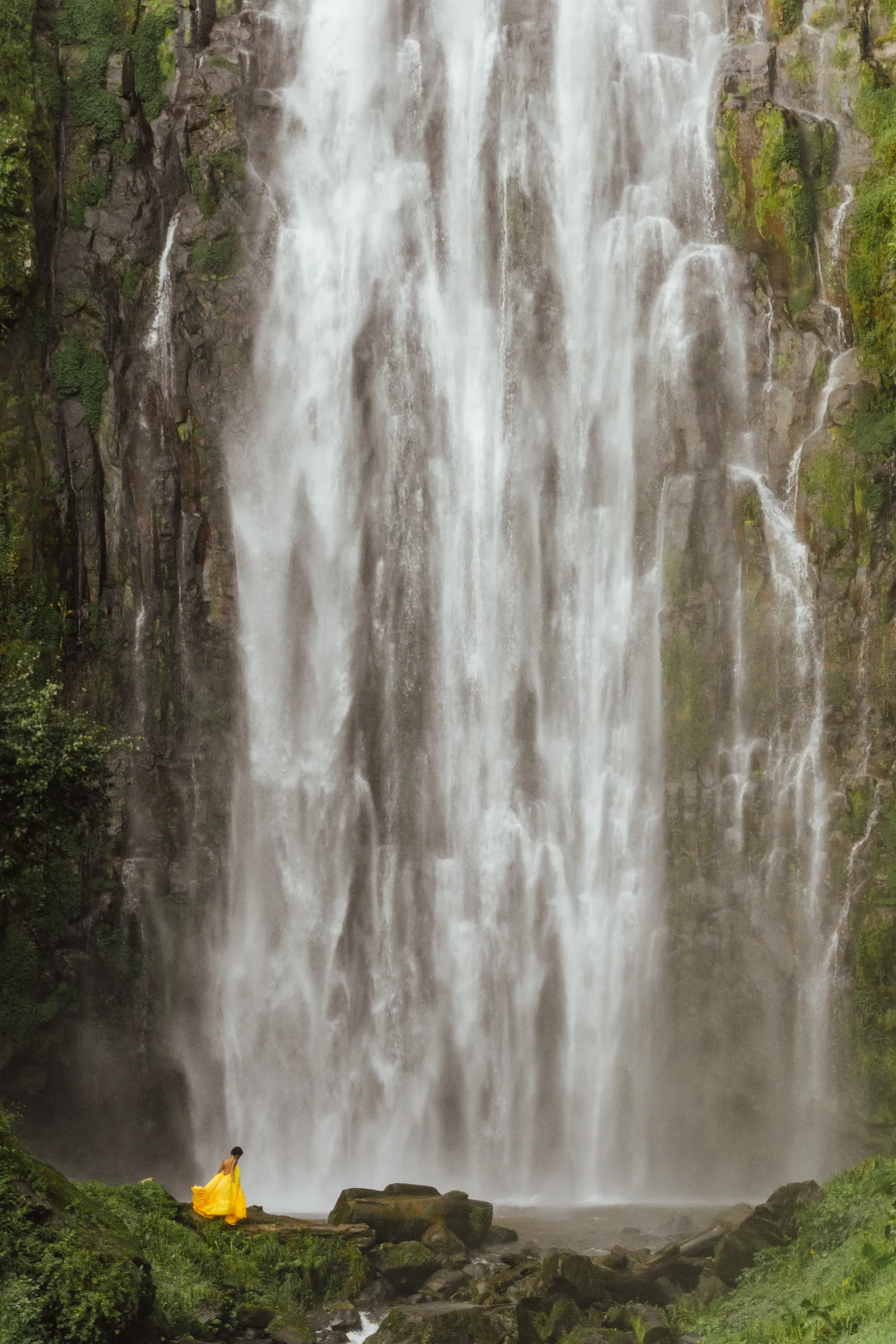
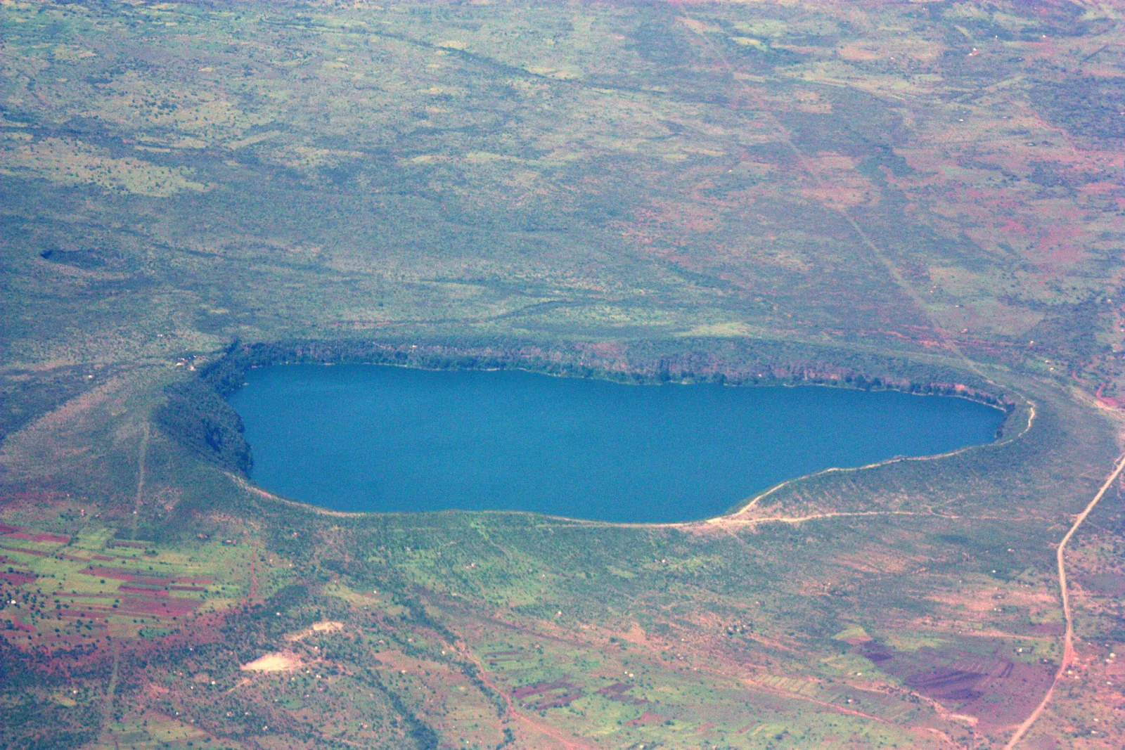
Away from the climb, the region rewards slow travel. Marangu has waterfalls and the old mission churches; Materuni and Kilasiya are falls within reach of Moshi; the Pare Mountains above Same offer walking with almost no other visitors; and Lake Chala, on the Kenyan border, is a startling green-blue crater lake with a footpath around its rim.
South-east, the land drops to dry bush and the boundary of Mkomazi National Park, shared with Tanga Region — rhino, elephant and open country against the backdrop of the Pare and Usambara ranges.
Towns, parks and places across Kilimanjaro Region
Town
Moshi
The regional capital under the mountain: coffee, outfitters and the base for most Kilimanjaro climbs.
National park
Kilimanjaro National Park
The mountain itself, from rainforest to the glaciers of Kibo, with six main climbing routes.
Village
Marangu
Chagga village on the south-eastern slopes, with waterfalls, caves and the oldest of the climbing routes.
Crater lake
Lake Chala
A deep crater lake on the Kenyan border, north-east of Moshi, with a rim walk and clear water.
Mountains
The Pare Mountains
North and South Pare, above Mwanga and Same — walking country, irrigated farms and cool air.
Reservoir
Nyumba ya Mungu
The Pangani reservoir in Mwanga District, opened in 1969: hydropower, irrigation and a fishing economy.
National park
Mkomazi National Park
Dry bush and rhino country in the south-east, shared with Tanga Region.
Informational — none of this is ticketed by us
Mountain
Climbing Kilimanjaro
Six main routes, five to nine days. Acclimatisation matters more than fitness; longer routes succeed more often.
Waterfall
Materuni falls
A tall fall in the forest above Moshi, usually combined with a coffee-farm visit.
Crater lake
Lake Chala
Green-blue water in a steep crater on the border. Walk the rim; swimming is not advisable.
Working farms
Chagga coffee farms
Smallholdings on the slopes where you can follow the crop from tree to cup.
Mountains
The Pare Mountains
Usangi and the ranges above Same — villages, viewpoints and walking with local guides.
National park
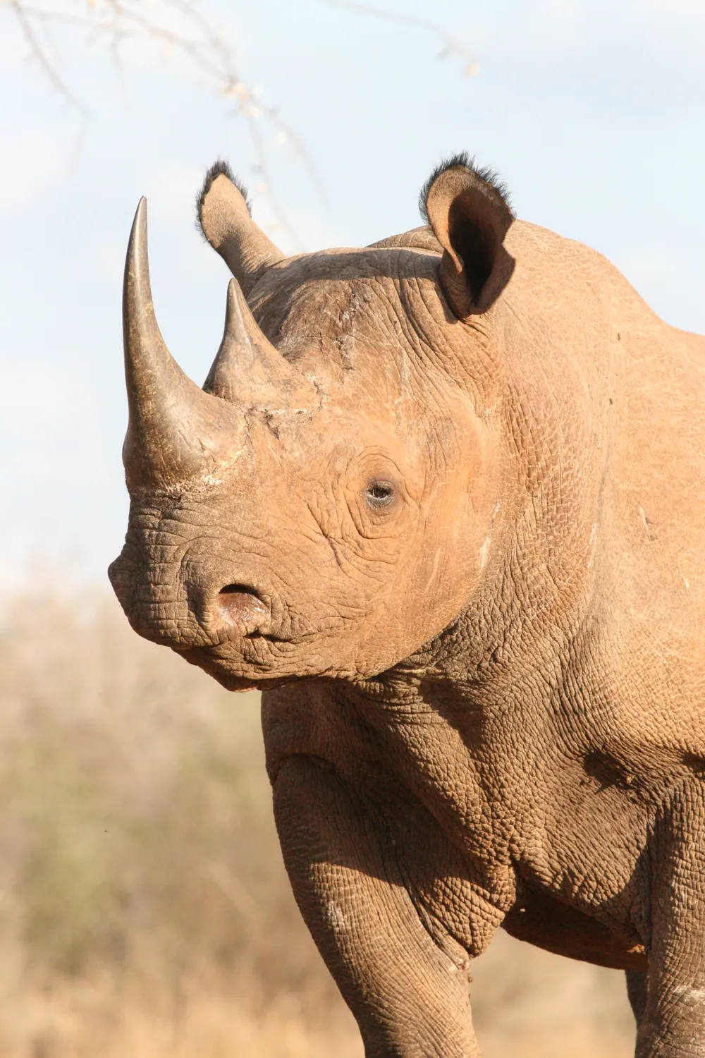
Mkomazi National Park
Rhino sanctuary and dry-country game, an easy detour off the Moshi–Tanga road.
Before you go
- Getting there
- Kilimanjaro International Airport, between Moshi and Arusha, takes international flights. The road from Arusha to Moshi takes about an hour and a half.
- Getting around
- Moshi is walkable; everything else needs a vehicle. Climbs are organised through licensed operators, not independently.
- When to come
- January to mid-March and June to October are the usual climbing windows. April, May and November are wet.
- On the mountain
- Park fees are paid to TANAPA and are a large share of the price. Guides and porters are mandatory; ask how crews are paid and equipped.
- Altitude
- Altitude sickness is the main reason climbs fail. Choose a longer route, walk slowly, and be willing to turn back.
- Money
- Shillings. ATMs in Moshi; carry cash for the villages and the falls.
Last reviewed 2026-09-17
Editorial — fact-check complete
Checked against
- 2022 Population and Housing Census — administrative unitsNational Bureau of Statistics, Tanzania
- Kilimanjaro Region — area, districts, peoplesWikipedia
- Kilimanjaro National ParkTanzania National Parks (TANAPA)
- Kilimanjaro Native Co-operative Union — historyWikipedia
- Nyumba ya Mungu Dam — Mwanga District, opened 1969Wikipedia