Arusha
National Park · TANAPA
Mount Meru, the Momella lakes, and a park you can walk in.
- Area
- 137 km²
- Established
- 1960
- Region
- Arusha Region
- Best time
- Year-round; clearest June–October
Wildlife
- Giraffe
- Colobus monkey
- Buffalo
- Flamingo
- Bushbuck
- Warthog
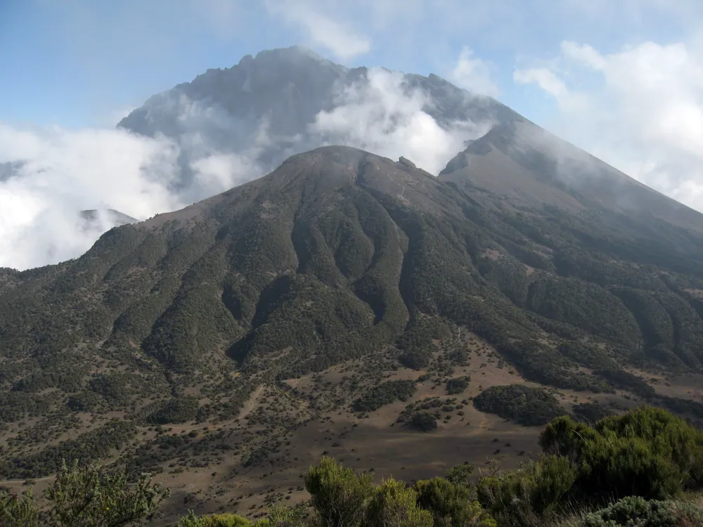
Small, close to the city, and consistently overlooked by people rushing west towards the Serengeti. Arusha National Park packs three distinct landscapes into 137 square kilometres: the forested Ngurdoto Crater, the alkaline Momella lakes, and the slopes of Mount Meru rising to 4,566 metres.
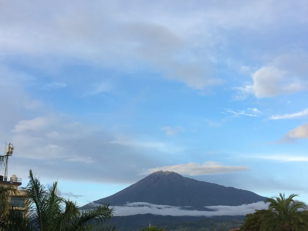
Meru is a volcano whose eastern wall collapsed in an enormous landslide, leaving a horseshoe caldera open to the north-east and an ash cone standing inside it. The climb takes three or four days, is spectacular, and is used by many climbers as acclimatisation before Kilimanjaro — which is visible from the summit ridge on a clear morning.
The park's real distinction is that you may walk in it, with an armed ranger. Very few Tanzanian parks allow that. Walking changes the experience entirely: giraffe and buffalo at ground level, and colobus moving overhead in the forest.
Walking safari with a ranger
Rare in Tanzania, and the main reason to come.
Momella lakes
Shallow, alkaline, different colours, and usually carrying flamingo.
Ngurdoto Crater
A forested caldera viewed from the rim — buffalo and warthog on the floor below.
Mount Meru, three to four days
Serious, beautiful, and excellent preparation for Kilimanjaro.
About 40 minutes from Arusha, and 30 from Kilimanjaro International — easily done on an arrival or departure day.
No positioning charge — the vehicle is already based nearby.
Checked against
- Tanzania National Parks — official siteTANAPA
- Arusha National ParkWikipedia