Iringa
A cool highland town on an escarpment above the Ruaha valley, with a Stone Age site older than almost anything in Europe and the memory of the chief who beat a German column in the field.
The high country of the southern highlands. Iringa sits above 1,550 metres, and the nights are genuinely cold.
- Region
- Iringa Region, southern highlands
- Population
- 202,490 (2022 census)
- Elevation
- Over 1,550 m
- From Dar es Salaam
- 502 km on the Tanzam highway
- Gateway to
- Ruaha National Park
Mkwawa, and a skull that took fifty-six years to come home
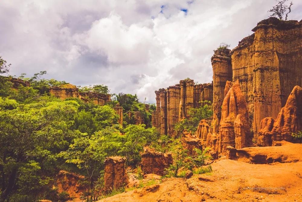
Start much earlier than the colonial period. At Isimila, about twenty kilometres south-west of the town, a dry gully has cut down through sediments and exposed a Stone Age site where hand axes and cleavers were excavated in quantity, dated to roughly 70,000 years ago. The gully has also eroded into a forest of sandstone pillars, which is why people photograph it. The tools are why it matters.
The history the town is built on, though, is the Hehe and their chief Mkwawa. In 1891 a German column under Emil von Zelewski marched into Hehe country expecting the usual outcome. At Lugalo, the Hehe ambushed it and destroyed it, killing von Zelewski and most of his force — one of the most complete defeats inflicted on a European army in the colonial conquest of the continent.
The Germans spent seven years answering it. They stormed Mkwawa's fortress at Kalenga, and built a garrison town — Neu Iringa — to hold the district. Mkwawa took to the bush and fought a guerrilla campaign until 1898, when, cornered, he shot himself rather than be captured. German soldiers cut off his head and sent the skull to Germany.
What happened next is remarkable. The return of the skull was written into the Treaty of Versailles in 1919 — Article 246, an article of a world peace treaty devoted to the head of a Tanzanian chief. It still took decades. Governor Sir Edward Twining traced it to a museum in Bremen, and on 19 June 1954 presented it to Mkwawa's grandson, Chief Adam Sapi, at Kalenga in front of more than thirty thousand Hehe. It is still there, in the Mkwawa Memorial Museum.
High-altitude farming, and the road south
What the region produces
- Maize
- The southern highlands are the national breadbasket
- Tomatoes & potatoes
- Sold as far as Dar es Salaam
- Timber
- Pine and eucalyptus plantations at altitude
- Tobacco & tea
- In the wetter districts
- Transit trade
- The Tanzam highway to Zambia
The southern highlands are the country's breadbasket, and Iringa sits in the middle of it. Altitude and reliable rain make this maize country on a scale the drier north cannot match, along with tomatoes, potatoes and vegetables that travel to Dar es Salaam and beyond. Pine and eucalyptus plantations cover the higher ground, feeding a timber industry.
The other economy is the road. The Tanzam highway — the Dar es Salaam to Zambia trunk route, part of the Cairo–Cape Town corridor — runs through Iringa, and the town serves the freight moving between the port and the landlocked south. That gives it a transport-and-services economy quite separate from agriculture, and explains why it has more infrastructure than its population suggests.
For visitors, Iringa's commercial significance is as the staging point for Ruaha National Park, roughly two hours west on a rough road — the second largest park in the country and one of its emptiest. Iringa is where you provision, sleep and change money before going in.
Hehe country, and a town that feels European in the evening
The Hehe identity here is strong and explicitly historical — Mkwawa is not a museum figure but a living reference point, and the chieftaincy retained real standing well into the independence period. Chief Adam Sapi Mkwawa, who received his grandfather's skull in 1954, went on to be the first Speaker of Tanzania's National Assembly.
The town itself sits on a rocky spur with a colonial-era grid below it, and it is walkable, cool and unusually pleasant. The German and Asian commercial buildings along the main streets are largely intact, and the market is one of the better ones in the country for produce, given what grows here. There is a long-standing Greek and Indian trading presence in the older streets.
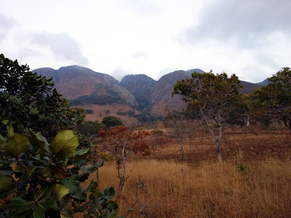
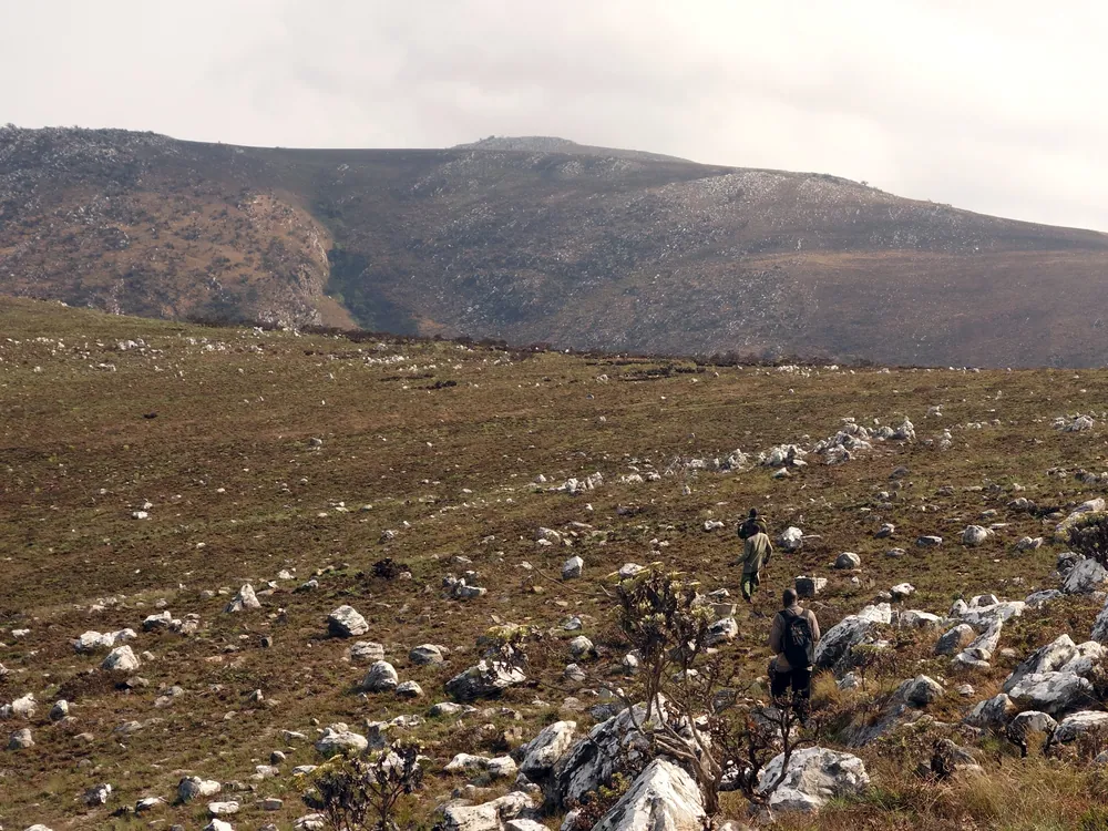
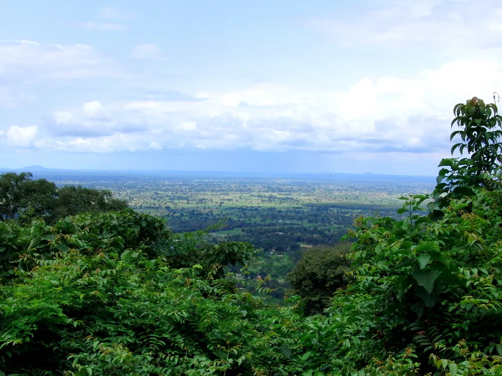
The climate is the thing visitors remark on. Above 1,550 metres, Iringa is cold at night for much of the year, and the surrounding country — rocky outcrops, miombo woodland, pine plantations — looks nothing like the savanna people arrive expecting. Kalenga, ten kilometres out, holds the museum and Mkwawa's grave, and the walk around the old fortress site is the most historically dense hour in the southern highlands.
Towns, parks and places across Iringa Region
Highlands
Mufindi and Mafinga
One of the coolest, wettest districts in the country, known for its tea estates and timber. Mafinga is the district town on the highway south.
Lake
Mtera reservoir
The dammed Great Ruaha on the Dodoma border — up to 660 km² when full — opened in 1981 to regulate water for hydropower downstream.
National park
Ruaha National Park
One of Tanzania's largest parks, west of Iringa town.
Informational — none of this is ticketed by us
Archaeology
Isimila Stone Age site
Hand axes some 70,000 years old, in a gully eroded into sandstone pillars. Twenty kilometres out, and barely visited.
Museum
Mkwawa Memorial Museum, Kalenga
The chief's skull, returned in 1954 under Article 246 of the Treaty of Versailles, and his grave.
National park
Ruaha National Park
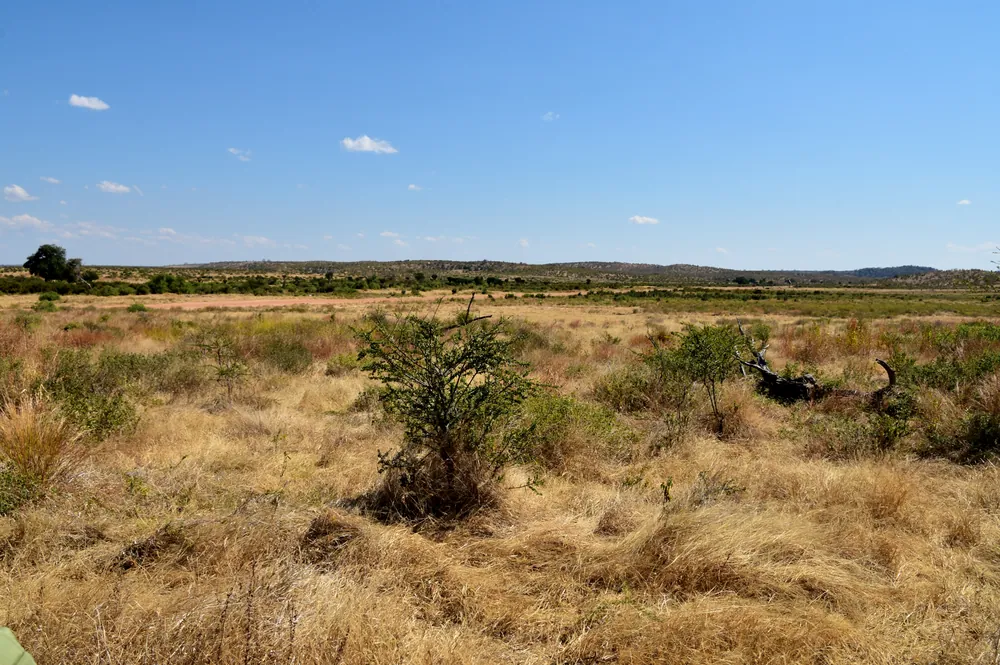
Two hours west. The country's second largest park, and one of the best in East Africa for predators.
Heritage
Kalenga fortress site
What remains of the stronghold the Germans stormed in 1894, above the Little Ruaha river.
Market
Iringa market
Highland produce — an unusual range for Tanzania because of what the altitude supports.
National park
Udzungwa Mountains
East towards Mikumi — rainforest, waterfalls and primates found nowhere else.
Before you go
- Getting there
- 502 km from Dar es Salaam on the surfaced Tanzam highway — seven to eight hours by road, or a short flight to the regional airstrip.
- Getting around
- The town is walkable. Kalenga and Isimila need a vehicle or a bajaji and some negotiation.
- When to come
- May to October is dry and cool. The rains run December to April and the Ruaha road becomes difficult.
- Altitude
- Over 1,550 m. Cold at night year-round — bring a jacket and expect to use it.
- For Ruaha
- Iringa is the last place to provision, fuel and draw cash before the park. Do all three.
- Money
- Shillings. ATMs in the town centre; nothing reliable beyond it.
Last reviewed 2026-09-14
Editorial — fact-check complete
Checked against
- Iringa — population, elevation, Isimila and Neu IringaWikipedia
- Chief Mkwawa — Lugalo, 1898, and the return of the skullWikipedia
- The skull of Mkwawa and the politics of indirect rule in TanganyikaJournal of Eastern African Studies
- Ruaha National ParkTanzania National Parks (TANAPA)
- Mtera DamWikipedia
- Mufindi District — tea and timberWikipedia