Sumbawanga
The capital of the Ufipa plateau, high above two rift lakes — the country of Fipa iron-smelters, the shifting waters of Lake Rukwa, and Kalambo Falls, where the Kalambo River drops 235 metres on the Zambian border.
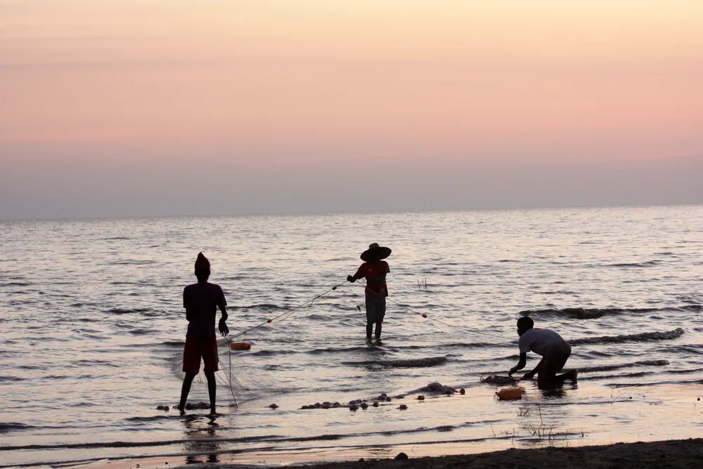
Fishing with a net in the shallows of Lake Rukwa. The lake lies in the rift valley below the plateau, and its size changes dramatically from decade to decade.
- Region
- Rukwa Region, far west
- Population
- 303,986, Sumbawanga Municipal (2022 census)
- Region total
- 27,765 km² — 1.54 million people
- Plateau
- Ufipa, averaging about 1,700 m
- Lakes
- Rukwa to the east, Tanganyika to the west
The iron-smelters of Ufipa
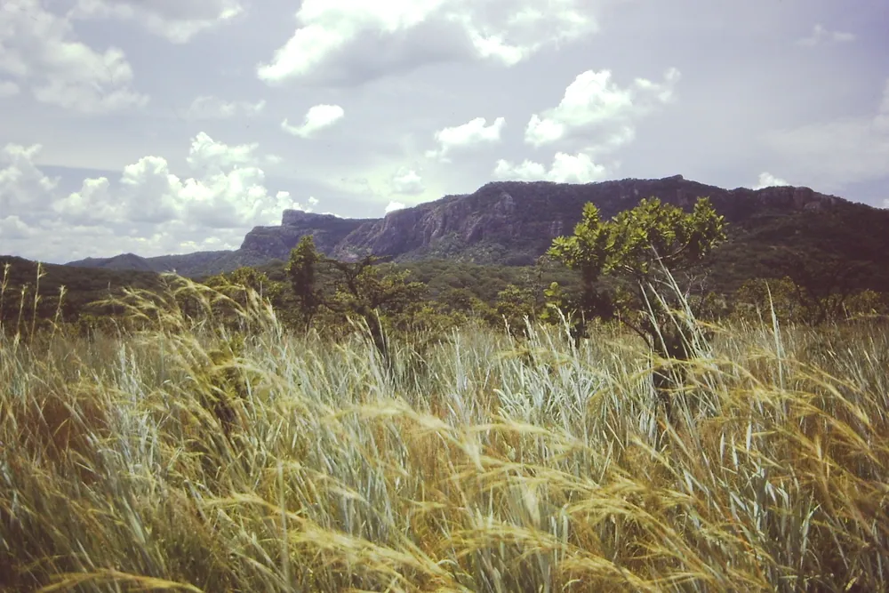
Sumbawanga stands on the Ufipa plateau, a highland lifted between two arms of the rift valley: Lake Tanganyika to the west and Lake Rukwa to the east. The plateau averages about 1,700 metres, and its highest point, Mbizi, rises to 2,490 metres at the escarpment edge north-east of the town.
This is the country of the Fipa, whose ironworking tradition has been unusually well recorded — by travellers, missionaries, ethnographers and archaeologists. Archaeologists recognise a sequence of furnaces here: small globular ones known as katukutu, dated to roughly 1550–1800, and later the tall malungu shaft furnaces, two to four metres high, often built into termite mounds. Smelting from ore continued until the 1950s, and slag heaps still mark old working sites.
In the 1840s the plateau was reached by the Ngoni under Zwangendaba, at the end of a migration of more than a thousand miles from southern Africa; he died near Ufipa around 1848, and his followers then divided. In the colonial period the Germans established a post at Bismarckburg, today's Kasanga, on the Lake Tanganyika shore, where the ruins of its fort still stand.
Maize, rice and fish from two lakes
What the region produces
- Maize
- One of the country's surplus regions
- Rice & beans
- In the valleys and on the plateau
- Fish
- From Lakes Rukwa and Tanganyika
- Cassava
- A staple food crop
- Helium
- Deposits found in the Rukwa basin
Agriculture accounts for most of the region's income. Rukwa is one of the handful of southern regions — with Ruvuma, Mbeya and Iringa — whose maize surplus feeds much of the rest of Tanzania, and rice, beans and cassava are grown widely. Sumbawanga is the market and supply town for all of it.
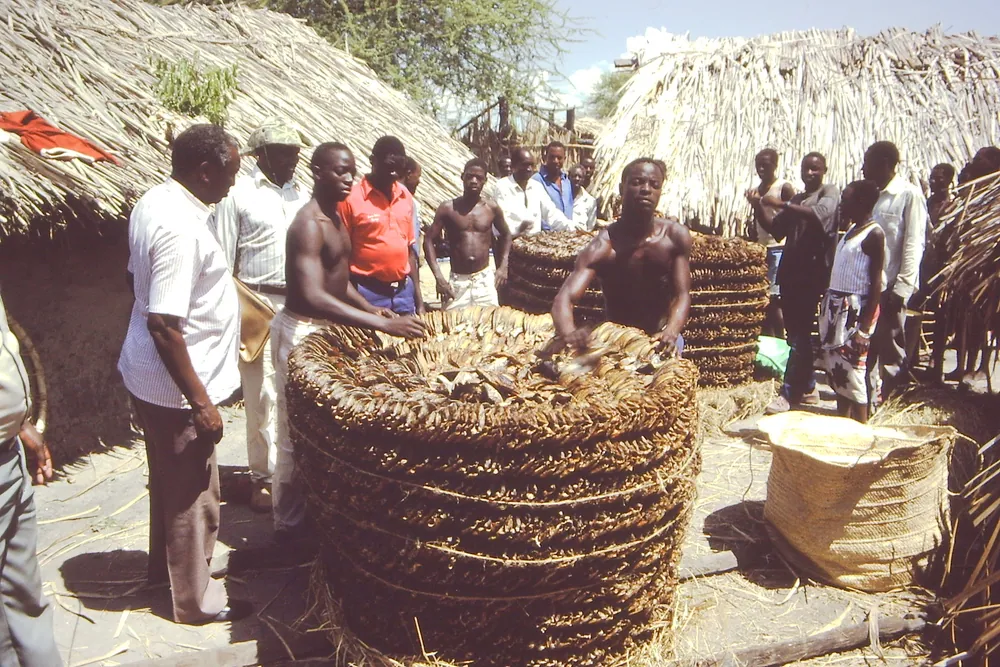
The lakes are the other larder. Fishermen work both Lake Tanganyika and Lake Rukwa, and dried fish is a staple of the region's markets.
Beneath the Rukwa basin there is something rarer: in 2016 explorers announced significant deposits of helium, a scarce industrial gas with few major sources worldwide. Whether it becomes an industry is still open. For now Sumbawanga is a quiet, practical highland town, and the roads that tie it to Mbeya and north to Katavi have transformed its links with the rest of the country.
A falling river, and the oldest wooden structure known
The town's name is often translated from Kifipa as throw away your witchcraft — a warning, the story goes, not to bring spiritual practices from elsewhere. The Fipa remain the region's main people, alongside the Nyiha, Mambwe and Lungu.
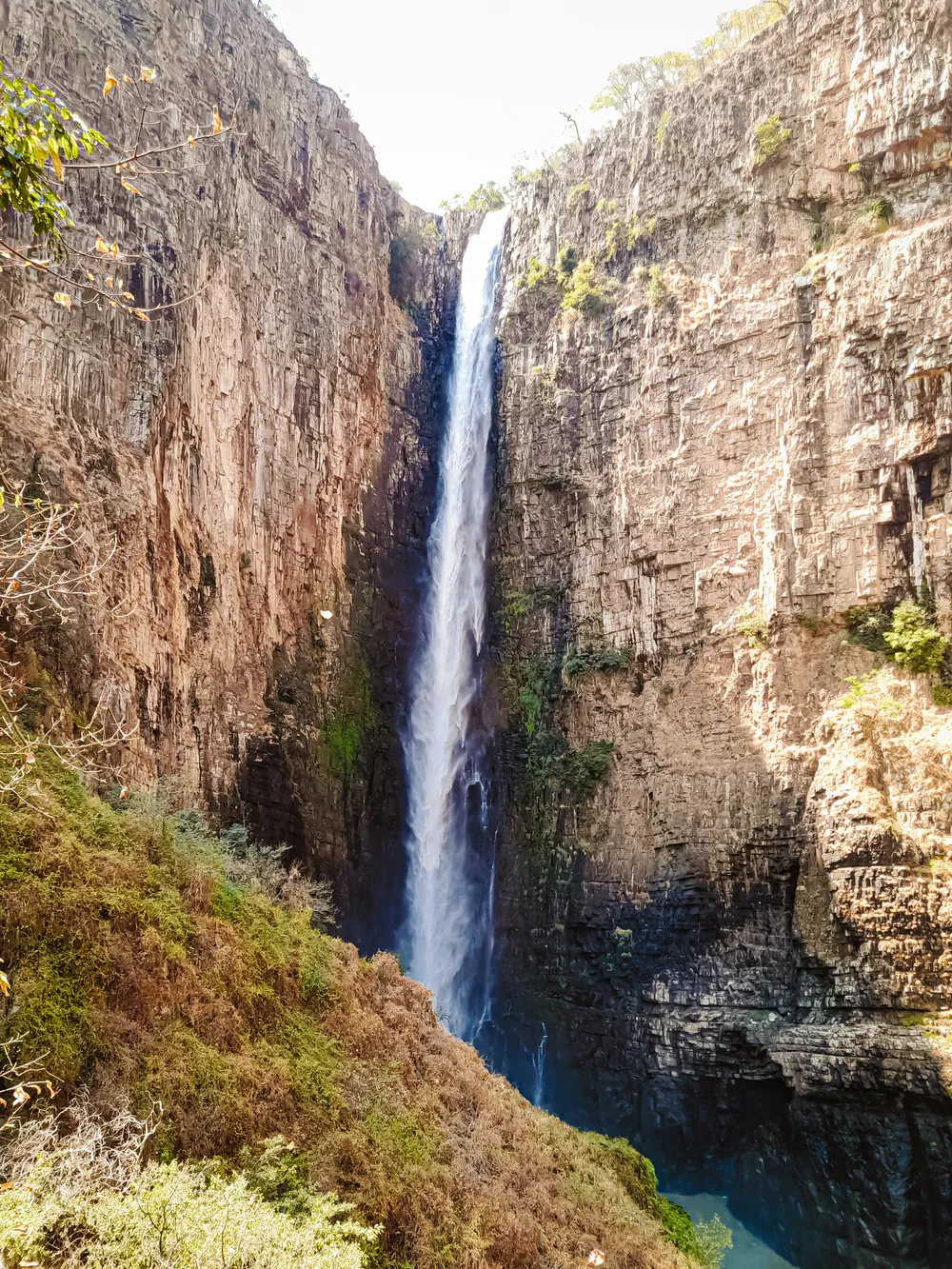
Down on the Zambian border, the Kalambo River plunges over the edge of the plateau in a single uninterrupted drop of 235 metres — one of the highest single-drop waterfalls in Africa — before running into Lake Tanganyika. The site above the falls is one of the most important in African archaeology, and has been on the UNESCO Tentative List since 2009. In 2023 researchers reported in Nature that waterlogged sediments on the Zambian bank had preserved two logs deliberately notched and joined at least 476,000 years ago — the earliest known wooden structure made by human ancestors anywhere.
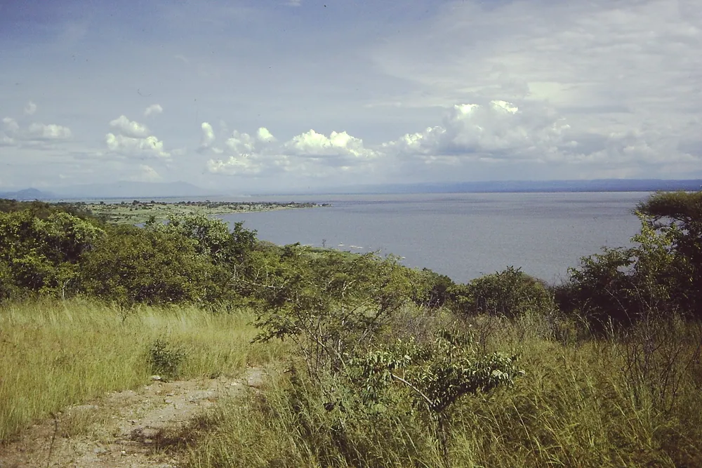
East of the plateau, Lake Rukwa has no outlet, and its alkaline waters rise and fall with the rains: it was about 48 kilometres long in 1929 and about 128 kilometres ten years later.
Informational — none of this is ticketed by us
Waterfall
Kalambo Falls
A 235-metre single drop on the Tanzania–Zambia border, and a prehistoric site of world importance. A long, rough drive with a guide.
Rift lake
Lake Rukwa
A shallow, alkaline lake with no outlet in the valley east of the plateau, its size changing with the years.
Montane forest
Mbizi Forest Reserve
Forest and grassland between 2,100 and 2,400 m above the town, managed by the Tanzania Forest Services Agency.
Landscape
The rift escarpments
The plateau's steep edges above the Rukwa and Tanganyika valleys, with views across both.
Lakeshore & history
Kasanga and the Bismarckburg ruins
A small port on Lake Tanganyika with the remains of the German fort.
Archaeology
Fipa iron-smelting sites
Old furnace sites and slag across the plateau. Visit only with a local guide who knows them.
Before you go
- Getting there
- Most visitors drive from Mbeya on the sealed road via Tunduma. Roads also run north to Mpanda and Katavi National Park.
- Getting around
- Kalambo Falls, Kasanga and Lake Rukwa are long drives on rough roads. Hire a 4x4 with a driver and plan full days.
- When to come
- June to October is dry and best for the roads.
- Climate
- Cool on the plateau, especially at night. The lake valleys below are much hotter.
- Border region
- Zambia is close. Carry your passport, and do not cross at Kalambo except through an official post.
- Money
- Shillings. ATMs in Sumbawanga; carry cash for everything beyond the town.
Last reviewed 2026-09-15
Editorial — fact-check complete
Checked against
- 2022 Population and Housing Census — administrative unitsNational Bureau of Statistics, Tanzania
- Mbizi Forest ReserveTanzania Forest Services Agency (TFS)
- Evidence for the earliest structural use of wood at least 476,000 years agoNature
- Kalambo Falls — height and Tentative List statusWikipedia
- Fipa furnaces and slag: distinguishing criteria based on physical analysisArchaeological Discovery (SCIRP)
- Zwangendaba — Ngoni leaderEncyclopaedia Britannica
- Lake Rukwa — size, fluctuation, heliumWikipedia
- The maize value chain in Tanzania — Southern HighlandsFAO
- Sumbawanga and Rukwa Region — peoples, economy, geographyWikipedia